COMMERCIAL DRONE SERVICES / CENTRAL TEXAS

Our Aerial Services

From geospatial mapping to property imagery, we deliver practical aerial data and documentation for your project.

WHAT WE DO

One aerial perspective. Multiple solutions.

Every project has different goals. Explore our services below to find the imagery, documentation, and mapping products that fit your needs.

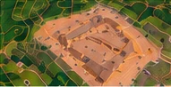
Aerial mapping view of a site
01 / MAPPING

Aerial Mapping & Geospatial Products

Turn overlapping aerial imagery into useful visual mapping products for planning, monitoring, and site documentation.

  • Orthomosaic imagery
  • Elevation models and terrain contours
  • Stockpile volume estimates
  • Site documentation
Explore Mapping →
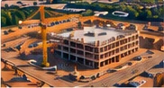
Construction site viewed from the air
02 / CONSTRUCTION

Construction Monitoring & Documentation

Document project milestones and changing site conditions with consistent aerial photography and video.

  • Progress monitoring
  • Site overview photography
  • Earthwork and grading documentation
  • Milestone imagery and site video
Explore Construction →
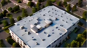
Aerial view of a commercial rooftop
03 / INSPECTIONS

Aerial Inspections

Capture detailed visual records of rooftops, building exteriors, and other assets that benefit from an elevated viewpoint.

  • Roof condition imagery
  • Building exterior documentation
  • Construction feature photography
  • Commercial property and asset views
Explore Inspections →
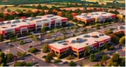
Commercial shopping center photographed from above
04 / REAL ESTATE

Real Estate & Commercial Property

Showcase properties, their features, and surrounding areas through professional aerial photography and video.

  • HDR aerial photography
  • Eight-point cardinal-direction views
  • Aerial property videos
  • Vacant land and commercial property imagery
Explore Real Estate →
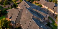
Roof photographed from above for visual documentation
05 / INSURANCE

Insurance Inspections

Provide clear aerial photographs of visible property conditions to support documentation and insurance-related workflows.

  • Storm damage photography
  • Roof condition documentation
  • Pre-loss property imagery
  • High-resolution visual reporting support
Explore Insurance →

LET'S DISCUSS YOUR PROJECT

Not sure which service fits your needs?

Tell us about your site and the deliverables you're looking for.

Request a Project Quote →