Project-first thinking
Capture decisions are guided by your objectives, so the final imagery has a defined purpose.
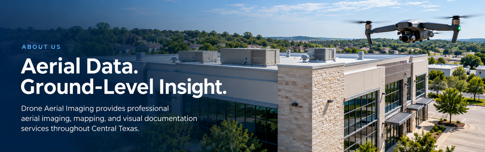
01 / WHO WE ARE
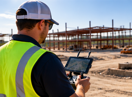
Drone Aerial Imaging helps businesses and property owners turn an aerial perspective into useful information.
Our work supports construction documentation, aerial mapping, property inspections, real estate marketing, and insurance-related visual documentation throughout Central Texas.
Each project starts with the same question: what do you need to see, understand, or communicate? That purpose shapes the imagery we capture and the deliverables we prepare.
Explore our services02 / OUR APPROACH
Useful aerial information begins before takeoff. We focus on the requirements of your site, your team, and your intended use.
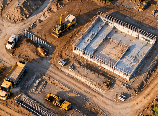
Discuss your objectives, site conditions, timing, and the views or mapping products you need.
Plan around airspace, access, weather, and site activity to collect imagery with a clear purpose.
Process and organize the agreed deliverables so your team can review, share, and use them.
03 / PROFESSIONAL STANDARDS
FAA Part 107 Certified Remote Pilot
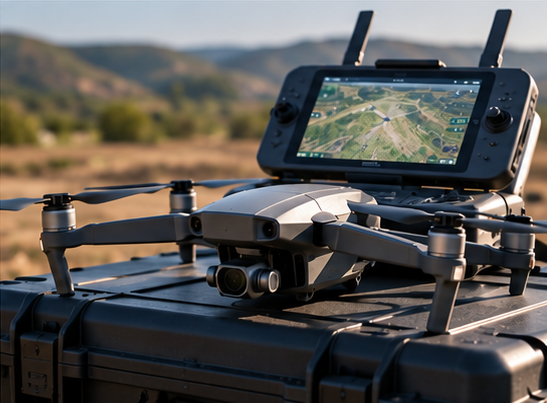
Professional work means paying attention to the details on the ground as well as in the air.
Our imagery and mapping products support visual documentation and planning. They do not replace licensed land surveying, engineering evaluations, or insurance adjusting.
THE DIFFERENCE IS IN THE DETAILS
Capture decisions are guided by your objectives, so the final imagery has a defined purpose.
From broad site context to focused property views, the right perspective helps explain what matters.
Discuss scope, timing, and delivery requirements so everyone understands the work ahead.
Receive imagery and agreed mapping products prepared for practical review and sharing.
OUR SERVICE AREA
Serving Austin and surrounding Central Texas communities. Tell us where your project is located so we can discuss coverage, access, and scheduling.
View the homepage service-area mapMap tiles could not load. Service coverage is a 100-mile radius near southwest Austin. Please check your internet connection.
LET'S DISCUSS YOUR PROJECT
Tell us about your site, your goals, and the aerial information you need.
Request a Project Quote