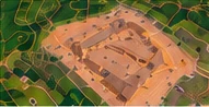
⌖ Aerial Mapping & Geospatial Products
- Orthomosaics
- Elevation models & contours
- Stockpile volume calculations
- As-built documentation
Professional drone mapping, construction documentation, inspections and real estate imaging services.
OUR SERVICES
From mapping and construction documentation to inspections and real estate, we deliver aerial data and imagery that helps you make informed decisions.

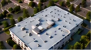

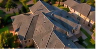
Capture more information from every angle.
Receive deliverables tailored to your project needs.
Reduce time and improve project documentation.
Clear visual data helps you plan, monitor and manage.
OUR PROCESS
We discuss your goals, site conditions and deliverable needs.
We develop a flight plan tailored to your project.
We capture high-quality imagery using mission-specific procedures.
You receive the agreed-upon deliverables, ready to use.
OUR DRONE FLEET
We use DJI aircraft to deliver high-quality data and imagery for a wide range of applications.
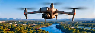
High-quality aerial photography and video for real estate, HDR imaging and construction progress.
View specs & capabilities
Professional mapping and photogrammetry for orthomosaics, site documentation and measurements.
View specs & capabilities
Advanced mapping, modeling and detailed visual inspections for complex projects.
View specs & capabilitiesAircraft selection is based on project requirements, site conditions and the deliverables requested.
SERVICE AREA
Drone Aerial Imaging provides commercial drone services throughout Central Texas.
Projects outside our standard service area may be considered upon request.
Tell us about your project and we'll get back to you.